Explore Interactive Regional Maps 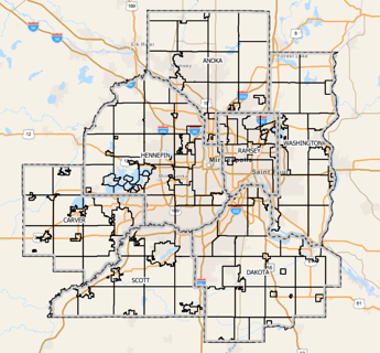
The Local Planning Handbook’s interactive ArcGIS map lets communities explore Metropolitan Council systems, natural systems, and administrative data at both regional and parcel levels. It helps local planners visualize trends, assess impacts, and align local plans with regional policies—all in one easy-to-use platform.
Visit your Community Page to download ready-to-go PDF and JPEG maps for your community.
Download regional data layers from the Minnesota Geospatial Commons below.
- Transportation Policy Plan 2050 All Data Layers
- Active Park & Rides
- Transit Centers
- Active Transit Stops
- Existing Transitway Stations
- Planned Transitway Stations
- Highways
- Functional Class Roads - Existing
- Functional Class Roads - Planned
- High Frequency Transit Routes
- Existing Transitway Alignments
- Planned Transitway Alignments
- Bikeways by Class - Existing
- Bikeways by Class - Proposed
- Railroads
- Regional Transit Authority Service Areas
- Airports in the Regional System
- Transportation Analysis Zones
- Transit Market Areas
- Transit Taxing District
- Freestanding Town Centers (part of Transit Market Areas)
Wastewater
- Water Resource Recovery Facility (WRRF)
- MCES Interceptors
- Current Service Area (Sewersheds)
- MUSA 2030
- MUSA 2040
- MUSA 2050
- Undesignated MUSA
- MUSA - Undesignated Reserve
- Long Term Service Area (LTSA)
Surface Water
- DNR River and Stream Centerlines
- Trout Streams
- Impaired Streams
- Lakes and Rivers
- Impaired Lakes
- National Wetlands Inventory (Palustrine System)
- Impaired Wetlands
- Watersheds (DNR Level 4)
- Minor Watersheds (DNR Level 7)
- Floodways (FEMA)
Water Supply
- Calcareous Fens
- Wellhead Protection Areas
- Drinking Water Supply Management Area Vulnerability
- Drinking Water Supply Management Areas
- Special Well and Boring Construction Areas
Other Water Related Layers
- Regional Parks Boundaries
- Regional Trail Boundaries
- State Parks and Recreation Areas
- State Forests (DNR)
- Mississippi River Critical Area Districts
- DNR Scientific and Natural Areas
- DNR Wildlife Management Areas
- Federally Managed Lands
- State Trails of Minnesota
- State Parks, Recreation Areas, and Waysides